Arkivet
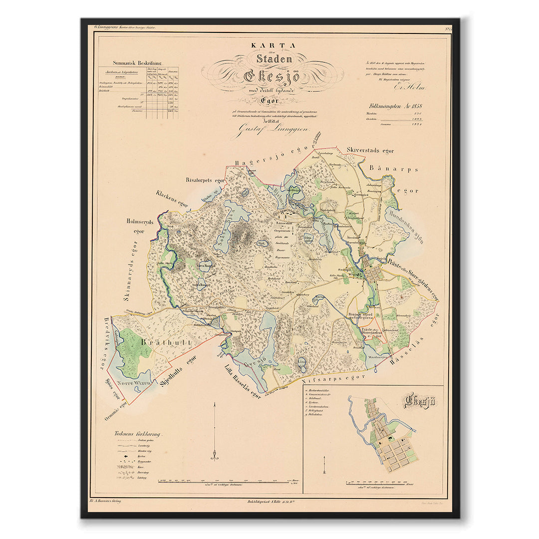
Map of Eksjö in 1858
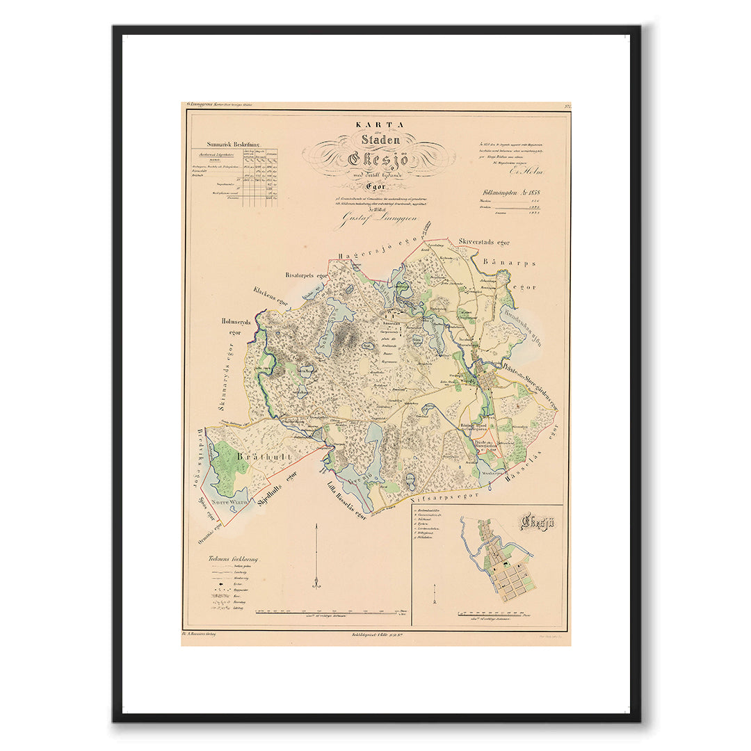
Map of Eksjö in 1858
Couldn't load pickup availability
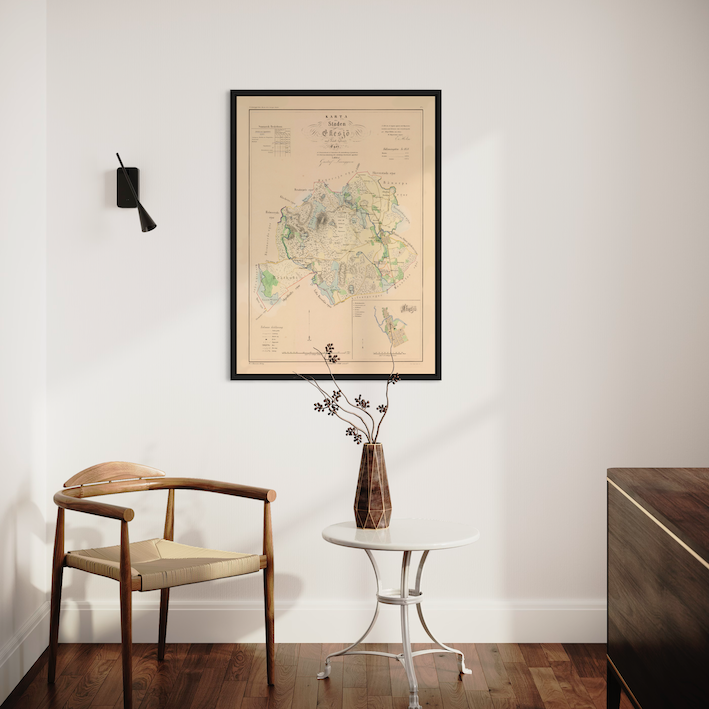
Poster with reproduction of historical map of Eksjö from Ljunggren's classic atlas. Cartographer Erik Gustaf Ljunggren was tasked during the 1850s with producing maps of all Swedish cities. The first map was produced in 1853 and the last in 1861.
The maps are carefully made and mostly contain details such as population numbers, street addresses and area specifications and would form part of the basis for city taxation.
About the product
About the product
Our printing paper comes from one of the world's leading manufacturers – Hahnemühle. We have chosen a matte paper of 200g per square meter, which has a structure and warm tone that gives the motifs a fantastic reproduction.
Please note that since the ratio between length and width differs depending on the size you choose, the motifs are cropped slightly differently.
Frames are not included with the posters and must be purchased separately.
Shipping and returns
Shipping and returns
Shipping within Sweden is included in the price. The delivery time is 3-5 days and your goods will normally arrive at your nearest collection point. The right of withdrawal gives you the opportunity to make returns within 30 days of receiving the item, provided that it is kept in its original condition. See our terms and conditions for further details.
Support
Support
If you have any questions about the product or your order, just send your questions to info@arkivet.io

Let customers speak for us
from 24 reviewsIngen tydlig bild av hur jag betalar. Kort eller faktura. Fick varan för över en vecka sedan men har inte fått besked om betalningen är ok
Jättefin bild
Det var en jättefin karta som kom färdiginramad. Hög kvalitet på trycket och en riktigt fin ram. En uppskattad present!
Bra kvalitet!
Fin inramning. Skänker en optimal Göteborgsk känsla.
Snabb och smidig leverans. Fin poster och snygg ram till! Blev en jättefin och uppskattad present.
Bra priser och smidig leverans, rekommenderar!
Fin poster, bra kvalitet. Mvh, Hans
Karta över södra Västergötland
Lätt att beställa, snabb leverans och fina produkter. Rekommenderas och jag lär återkomma.
Jag är så glad för min nya poster! Jag har länge letat efter exakt denkänslan på poster & är väldigt selektiv med vad jag sätter på min vägg. Superglad över att ha hittat till Arkivet!
Köpte denna fina reproduktion åt min pappa och min faster som båda växte upp i falköping. Det var en succé! Båda var fascinerade över den vackra kartan och började omedelbart berätta historier om de olika hus och områden som syntes där. Kartorna sitter uppe på väggen i bådas hem och sprider säkerligen glädje på daglig basis. Tack!
Snabb leverans och fin kvalité! Mycket nöjd med mitt köp.
Bilden hade bra kvalitet och det var bra packat så allt var i perfekt skick. Sen gick det fortare än jag hade trott.
Nöjd och lär återkomma som kund framgent
Camilla T
Jättefin ram, bra kvalitet och snabb leverans! Jag är jättenöjd!
Don't forget the frame
-
Frame in black wood
Regular price From $31.00Regular priceUnit price / per -
Frame in walnut
Regular price From $31.00Regular priceUnit price / per -
Frame in oak
Regular price From $31.00Regular priceUnit price / per -
Frame in white wood
Regular price From $31.00Regular priceUnit price / per

