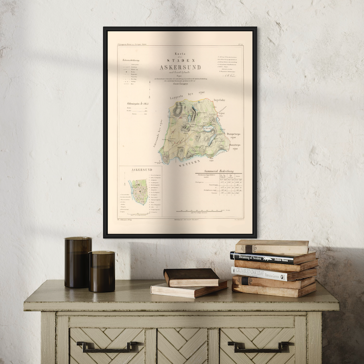


Don't forget the frame
-
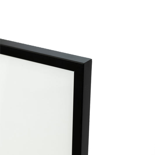
Frame in black wood
Regular price From 279 krRegular priceUnit price per -
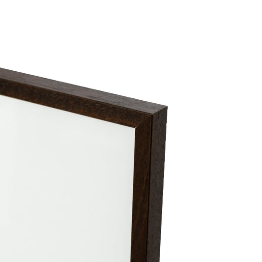
Frame in walnut
Regular price From 279 krRegular priceUnit price per -
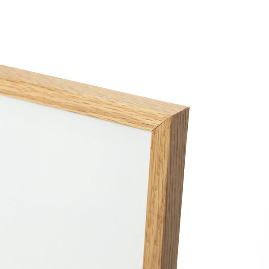
Frame in oak
Regular price From 279 krRegular priceUnit price per -
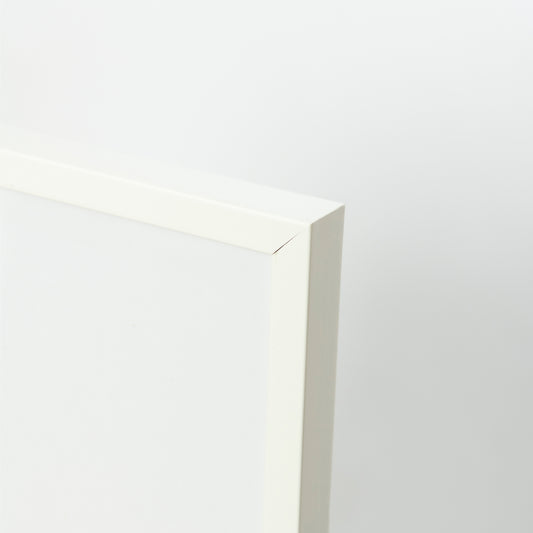
Frame in white wood
Regular price From 279 krRegular priceUnit price per